Sixth
Report for Wrinehill Roads and Pavements
The issue of Checkley Lane remains very much alive, particularly during this wet weather. As this is only November, the likelihood of any great improvement is somewhat remote.
In the last ten days the flood water is almost
permanently across the road. Large and
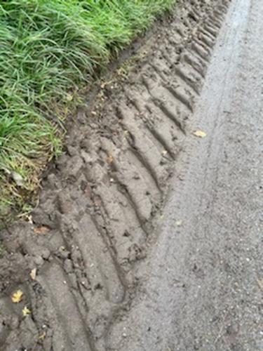
small vehicles are cutting into the grass verges to avoid it, creating even
more sludge which is being carried to already blocked drains.
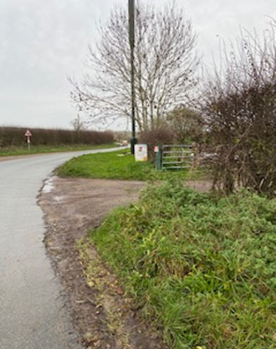
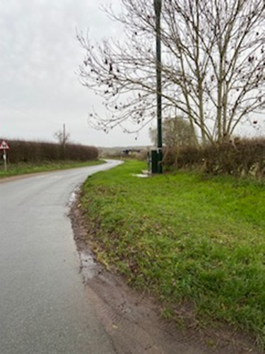
Looking towards the main road
Looking towards the mast and bridge
Erosion
looking towards the bridge
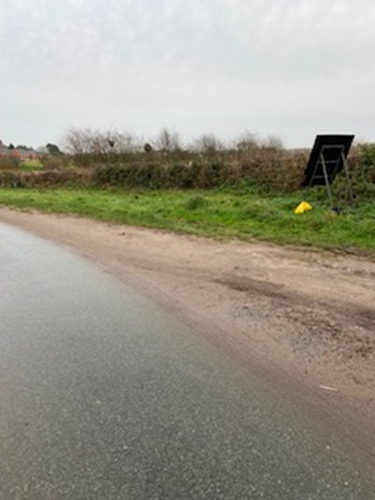
Erosion and silt build up
More erosion facing
the mast
The recommendation to the Newcastle Planning
Department by the Parish Council was that 'The parish council would ask the local planning authority to ensure that works proposed will have no adverse impact on the surface water
movements and ground drainage of the area given the existing problems in
Checkley Lane’ and that ‘the works proposed will have no impact on the adjacent
hedgerow or the nearby tree which makes an important contribution to the
appearance of the area. (See below)
Residents can judge for themselves
whether or not this was taken into account by the NBC Planning Committee. But clearly not because water is still coming from under the mast. When the drain silts up the water will start flooding the road and we could have another flood spot in Checkley Lane. Perhaps the Parish council might take a stronger line on such issues.
Flooding under the bridge and back logging
Blocked
drain under the bridge causing flooding
Poor road engineering one blocked and one unblocked
drain. Only if the water reaches a certain volume will it flow into the
unblocked drain opposite. Water backing
up along the roadway
Hidden and blocked grid (under the leaves) just after the bridge on the Cheshire East side,
which doesn’t help
More
erosion of verge after the bridge on Cheshire East side which will wash down to
the bridge and beyond, to block other drains
Erosion of verge and resulting silt manufacture ready to
be washed into the grids.
More
Flooding
The flooded mast and waterlogged verge and spoiling of
the grass verge. It is likely that when
this verge becomes completely waterlogged the water will start to flow into the
road.
Flooding
erosion and visual impairment, and the dwarfing of the 10 foot tree by the 15
foot mast – not to mention the churning up of the grass verge after work of
some kind
Recommendations
1.
That the Parish Council receive and
accept this sixth report re the condition of Checkley Lane.
2.
That the Staffordshire County Council
be urged to allocate funding to resolve this situation immediately and
especially given the use of this Lane by the HS2 workforces and their heavy
goods vehicles which are already using the Lane. It is estimated that the projects in Madeley,
Den Lane and Checkley Lane will engender around 700 extra vehicles per
day. We are told that only 12 HGVs will use
the Lane (24 to and from). The rest
will be the work force traffic stationed in satellite encampments.
3.
That HS2 recognise that neither Den nor
Checkley Lanes are fit for purpose.
4.
That the County Council and County
Councillors pass information on to Parish Councillor and other stakeholders in
order to keep them up to date and speed with the developments of this project, which are now beginning to bite.
$$$$$$$$$$$$$$$$$$$$$$$$$$$$$$$$








Comments
Post a Comment